
Anniversary of the Groundhog Day Blizzard in Chicago
By Meghan Evans, Meteorologist
Feb 1, 2012; 10:10 AM ET
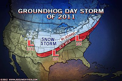
It is the one-year anniversary of the Groundhog Day Blizzard in Chicago.
The storm brought the area from central Oklahoma to the lower Great Lakes and central New England between 1 and 2 feet of snow spanning Jan. 31 to Feb. 2, 2011, affecting over 100 million people along its path.
 To see photos of the blizzard in Chicago, click here.
The area from northeastern Missouri to northeastern Illinois was hit the hardest.
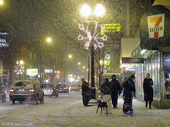
Wind gusts to 60 mph in the Chicagoland area brought travel to a standstill with haunting images of stranded vehicles in waist-deep snowdrifts along the Lake Michigan shoreline. The storm resulted in power outages, school closings and halted mail service for a time.
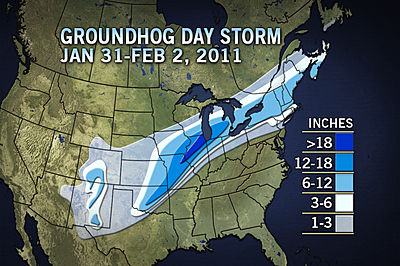
Chicago was buried under 20.2 inches of snow from the storm.
 Hundreds of cars were stranded on Lake Shore Drive Wednesday, Feb. 2, 2011, in Chicago. A winter blizzard of historic proportions wobbled an otherwise snow-tough Chicago, stranding hundreds of drivers for up to 12 hours overnight on the city’s showcase lakeshore thoroughfare and giving many city schoolchildren their first ever snow day. A year later, temperatures are in the mid-50s and flirting with record highs for this date. (AP Photo/Kiichiro Sato)
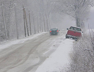
 This AccuWeather.com Facebook fan photo was taken by Jan in Claremore, Okla., on Tuesday, Feb. 1, 2011, before snow headed toward Chicago and Detroit.
More Photos of the Chicago Blizzard
Submit Your Photos to the AccuWeather.com Facebook page
Content contributed by AccuWeather.com Expert Senior Meteorologist Alex Sosnowski.
You Might Also Like Our Friends' Posts
Comments are closed for this story.


 Choosing from the best US Canadian and international sources, we gather and select weather stories from around the world. World Weather Post not only brings you breaking news about people affected by weather, but also provides insight on how weather is affected by people. You will also find a sense of humour and a curiosity for understanding the weather, climate change and the environment. World Weather Post, where everybody talks about the weather.