
The New Coastal Radar Delivers!
A major change in weather is now occurring, with marine air pushing into western Washington, displacing the warmth of yesterday. A front is approaching the coast, but will it rain? How strong is the front? Now we know–because of the new coastal radar.
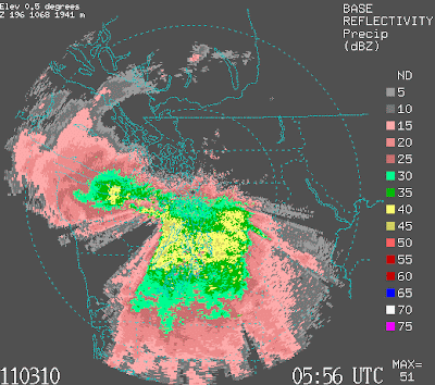
This morning, Brad Colman, Meteorologist in Charge of the National Weather Service Seattle office, kindly sent me this image at 7:17 AM (they are getting the radar in real-time on many days):
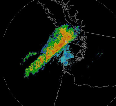
You can see a strong front offshore, stretching to beyond the Oregon border (yellow and red are heavy rain). Here is the image from the Camano Island radar:
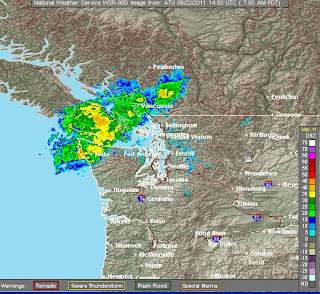
It can’t see the front beyond the entrance to the Strait of Juan de Fuca…the parts that will hit Seattle and south–because of blockage of the Olympic and distance. But the new radar shows clearly the strength of the front extending out over the ocean…marvelous.
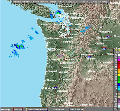
Or how about the Portland radar? If you believed it, you would think that there were only a few sprinkles out there.
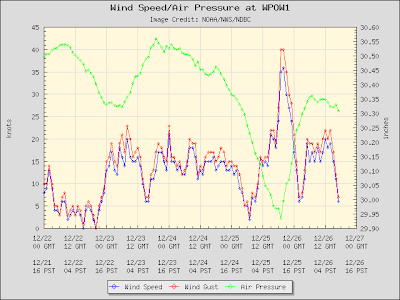
The winds are really picking up now, with some places getting sustained winds over 20 kts. Here is the latest ferry weather winds. Sustained 25 knots in the central Sound–and gusts would be higher.

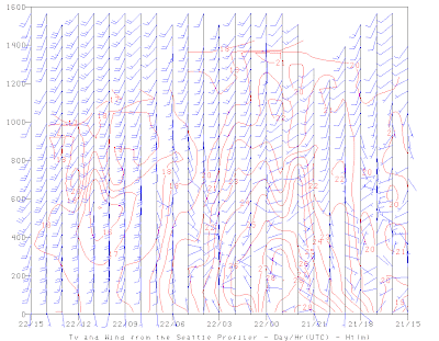
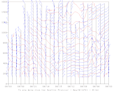
The Seattle profiler at Sand Point, which shows winds above the surface, clearly indicates the strong southerly winds that have pushed in aloft….a very different day. Temperatures aloft have declined by about 10C (18F).
The coastal radar, observations on ferries, the profiler…twenty years ago we didn’t have any of them. And we didn’t have high resolution numerical models. Progress is being made.
You Might Also Like Our Friends' Posts
Comments are closed for this story.


 Choosing from the best US Canadian and international sources, we gather and select weather stories from around the world. World Weather Post not only brings you breaking news about people affected by weather, but also provides insight on how weather is affected by people. You will also find a sense of humour and a curiosity for understanding the weather, climate change and the environment. World Weather Post, where everybody talks about the weather.