
Damaging Tornadoes Slam Plains
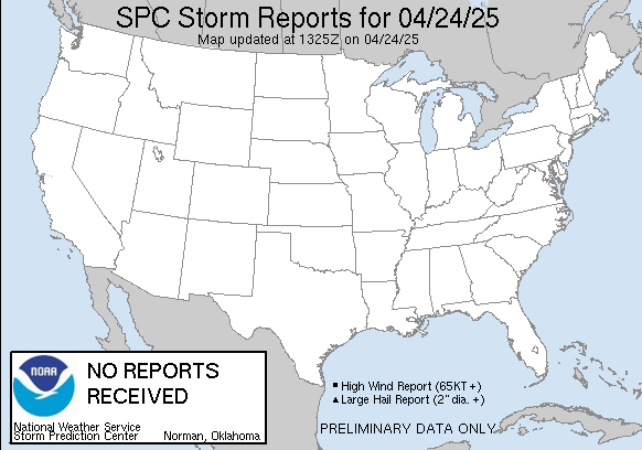
SPC Storm Reports from Saturday
The SPC storm reports show the typical track of these storms, with Kansas being the hardest hit. Early in the afternoon, most of the supercell thunderstorms were consistently producing weak tornadoes that skipped across western and central Kansas. As the low-level jet kicked in late in the afternoon and into the evening, these thunderstorm strengthened considerably. Probably the most remarkable supercell thunderstorm began in western Oklahoma near Woodward as a stunning multi-vortex tornado. The tornado actually was several tornadoes that danced into southern Kansas and eventually threatened Wichita. While it did pass south and east of the city, it did produce an 84 mph wind gust at the Wichita Airport. It also did extensive damage at the airport. In addition, the Oaklawn area of Wichita was declared a disaster area very soon after the tornado passed. The Sedgwick County commissioner declared the county a disaster area with a couple hours of the devastating tornado’s passage. This wedge tornado eventually moved along the Kansas Turnpike northeast of Wichita before it finally dissipated.

Double Tornadoes in Oklahoma close to the Kansas border

This tornado sparked a fire in Oklahoma as it passed through the area northeast of Woodward
The scariest tornado struck Woodward, OK early Sunday morning as the main squall line moved through western Oklahoma. This tornado was very large and particularly dangerous since it occurred at night when most residents assumed the threat had ended. There were multiple reports of not hearing the city’s siren, so it is entirely possible that the siren was either struck by lightning or hit by the tornado itself. Probably the scariest video of a tornado I have ever seen was taken of this Woodward tornado as it moved into town. Note you can see the scale of the tornado as between power flashes. There was reported widespread damage in Woodward along with several injuries.
Perhaps the most telling feature of this severe weather outbreak was its repetitive nature. Salina, KS was tornado warned three times by three separate severe thunderstorms. Similarily, areas from Medicine Lodge to Kingman, Kansas were warned for two separate thunderstorms, while Woodward itself was warned very early in the day before a different tornado moved through the city late in the night.
The good news is that as the as the dry line and associated thunderstorms continue moving east, the severe threat will lessen.
Shaun Tanner
You Might Also Like Our Friends' Posts
Comments are closed for this story.


 Choosing from the best US Canadian and international sources, we gather and select weather stories from around the world. World Weather Post not only brings you breaking news about people affected by weather, but also provides insight on how weather is affected by people. You will also find a sense of humour and a curiosity for understanding the weather, climate change and the environment. World Weather Post, where everybody talks about the weather.