
It’s a Miracle: Normal Weather Returns
It is hard to remember such an extended period in March where snow was falling somewhere over the lowlands of western Washington and Oregon. Even yesterday, the persistent snow plagued our region, with the area south of Portland and extending down to Eugene not only getting snow, but record-breaking snow. Eugene had a storm total of 7.5 inches…the most they ever had so late in the season.
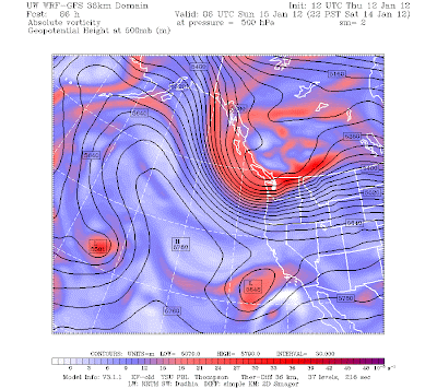
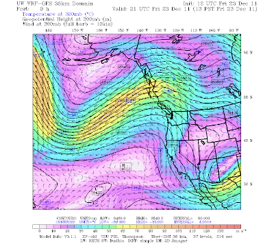
But I have good news…I think snow is over for the lowlands…and probably for the rest of the spring. The large scale atmospheric pattern is shifting enough that we should enjoy near normal temperatures for a while (like mid 50s) and believe it or not the weekend should be dry. During the next few days a deep trough will build in the eastern Pacific and all the weather will head south to California. Here are the upper level maps for Saturday and Sunday…not the best time to vacation in lotus land, but they will get acutely needed precipitation. We are left high and dry…and I mean dry, with a weak ridge extending over the NW. Saturday may get up near 60F.


Here are the 24-h precipitation maps ending Saturday and Sunday at 4 PM. We are essentially dry…although we probably will see some middle and high clouds.

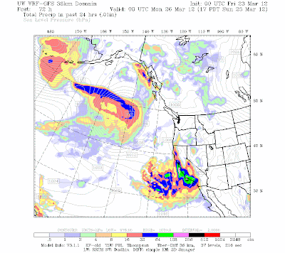
The extended models, including gold-standard ECMWF, suggests we will stay in a milder pattern, with rain returning next week. But after 5 weeks of generally below-normal temperatures, 50s will feel quite comfortable and this weekend spring-like.


You Might Also Like Our Friends' Posts
Comments are closed for this story.


 Choosing from the best US Canadian and international sources, we gather and select weather stories from around the world. World Weather Post not only brings you breaking news about people affected by weather, but also provides insight on how weather is affected by people. You will also find a sense of humour and a curiosity for understanding the weather, climate change and the environment. World Weather Post, where everybody talks about the weather.