
Welcome Back: AccuWeather Shelf Cloud and So Much More
Welcome Back: AccuWeather Shelf Cloud and So Much More
May 29, 2012; 5:33 PM ET
After a long holiday weekend, I’m welcomed back to work today by so many weather stories, I can’t keep up. This afternoon a storm developed suddenly west of AccuWeather HQ. Before I could assemble my tripod, Henry dragged me from my desk into the lobby to see the storm’s impressive shelf cloud:

Even then, the storm didn’t look impressive on radar and I was surprised to see such a defined shelf cloud; the cross-section radar looked a little more severe:

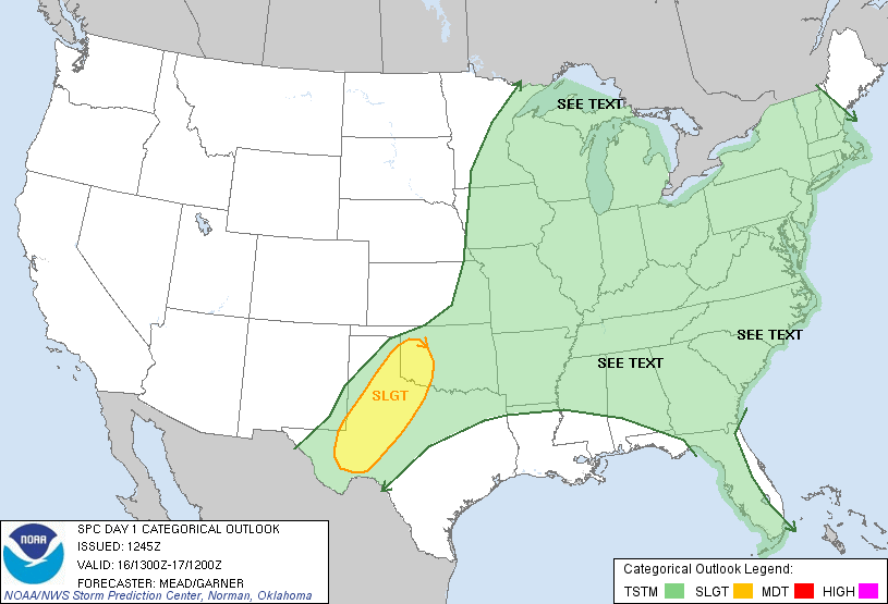
Today was the biggest severe weather day so far this season for Pennsylvania and New York, with an SPC Slight Risk upgraded to Moderate at 12:30 PM. By 5 PM, dozens of hail and wind reports had been issued.
Also this afternoon, an impressive thunderstorm outflow boundary was sighted on the Roanoke, Virginia radar after storms died (and “blew out” their cold air) in northern North Carolina:
Earlier this morning, before storms started breaking out from Tennessee to New York State, a thunderstorm downburst spiked the wind to 108 mph at Mount Washington, New Hampshire:

Shortly thereafter, severe flooding was reported at University of Louisville, where over 5 inches of rain was estimated to have fallen by Doppler radar:

OF COURSE, you’d have known this all already if you followed me on Facebook and Twitter. 
The views expressed are those of the author and not necessarily those of AccuWeather, Inc. or AccuWeather.com
You Might Also Like Our Friends' Posts
Comments are closed for this story.



 Choosing from the best US Canadian and international sources, we gather and select weather stories from around the world. World Weather Post not only brings you breaking news about people affected by weather, but also provides insight on how weather is affected by people. You will also find a sense of humour and a curiosity for understanding the weather, climate change and the environment. World Weather Post, where everybody talks about the weather.