
Correction on the IMD Long Range Forecast Update
Correction on the IMD Long Range Forecast Update
Jun 27, 2011; 12:26 PM ET
BELOW NORMAL RAINFALL FORECAST BY IMD
Having misread the June 21 press release and IMD’s Long Range Forecast Update, I gave wrong information on the earlier post.
The IMD have lowered their estimate of seasonal (Jun-Sep) rainfall, nation wide, to 95 percent of long-term average. The preliminary forecast was for 98 percent of long-term average.
A regional break-out of the forecast rain amount shows below-normal rainfall in all of the four broad geographical region:
North-West India: 97 percent;
North-East India: 95 percent;
Central India: 95 percent;
South Peninsula: 94 percent.
As a backdrop to the forecast, the IMD cited ENSO (El Nino-Southern Oscillation) neutral conditions (tropical Pacific), as well as the lack of strong forcing from the India Ocean (no Dipole, positive or negative).
“HOT SPOT” FOR HEAVY RAIN OVER NORTH INDIA

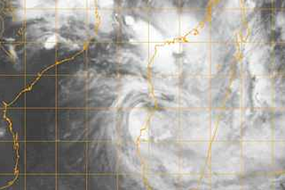
IMD Kalpana-1 satellite imagery taken 1700 UTC June 27, 2011.
Low pressure and cyclonic flow is centered over north-central India today, Monday. I cannot say that this is, or is not, the deep monsoon low that painted torrential rain westward from the head of the Bay of Bengal into eastern Rajasthan earlier in the month.
Anyways, this low is forecast to hang over north-central and north-western India for another few days, thereby making for a kind of “control center” for Subcontinent weather.
There will be more heavy falls of rain between Rajasthan and Madhya Pradesh, and the western Himalaya. Greater Delhi could have some.
You Might Also Like Our Friends' Posts
Comments are closed for this story.



 Choosing from the best US Canadian and international sources, we gather and select weather stories from around the world. World Weather Post not only brings you breaking news about people affected by weather, but also provides insight on how weather is affected by people. You will also find a sense of humour and a curiosity for understanding the weather, climate change and the environment. World Weather Post, where everybody talks about the weather.